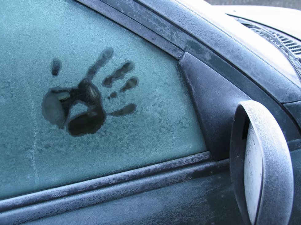
Frost Advisory in Effect for the Area Overnight
A frost advisory is in effect from 4 am to 8 pm Saturday. A combination of the temperature in the low to mid 30's and light winds could result in frost formation.
Here's the forecast for the Sedalia/Whiteman AFB/Warrensburg area according to the National Weather Service in Pleasant Hill:
FridayShowers likely, mainly before 8am. Cloudy through mid morning, then gradual clearing, with a high near 58. North wind 15 to 17 mph, with gusts as high as 30 mph. Chance of precipitation is 60%. New precipitation amounts of less than a tenth of an inch possible.Friday NightWidespread frost, mainly between 4am and 5am. Otherwise, clear, with a low around 35. North northwest wind 6 to 11 mph becoming light and variable in the evening. Winds could gust as high as 18 mph.SaturdayAreas of frost before 9am. Otherwise, increasing clouds, with a high near 63. Light south wind becoming southwest 5 to 9 mph in the morning.Saturday NightA slight chance of showers. Mostly cloudy, with a low around 43. South southwest wind 3 to 8 mph. Chance of precipitation is 20%.SundayMostly sunny, with a high near 59.Sunday NightMostly clear, with a low around 38.MondayA chance of showers after 1pm. Partly sunny, with a high near 57. Chance of precipitation is 30%.Monday NightA chance of showers. Cloudy, with a low around 43. Chance of precipitation is 50%.TuesdayShowers likely, mainly before 1pm. Cloudy, with a high near 56. Chance of precipitation is 60%.Tuesday NightA chance of showers. Mostly cloudy, with a low around 48. Chance of precipitation is 40%.WednesdayShowers likely and possibly a thunderstorm. Mostly cloudy, with a high near 68. Chance of precipitation is 60%.Wednesday NightShowers likely and possibly a thunderstorm. Mostly cloudy, with a low around 58. Chance of precipitation is 70%.ThursdayShowers likely and possibly a thunderstorm. Mostly cloudy, with a high near 75. Chance of precipitation is 70%.

More From Mix 92.3