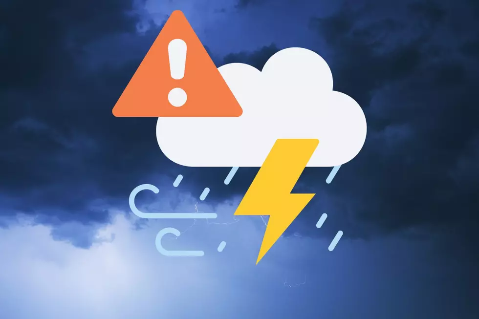
Sedalia In “Area of Greatest Concern” for Severe Weather Today
The National Weather Service says Sedalia is in the area of greatest concern for severe weather this afternoon, May 22. The National Weather Service is concerned that a narrow line of severe storms will develop in Southeastern Kansas this afternoon and move into west central and central Missouri this evening.
Kansas City, Jefferson City, Moberly, Rolla. All could get hit with severe storms. Sedalia, Bolivar and Butler all fall into a narrow swath that the NWS has labeled "Area of Greatest Concern." If we get hit with these storms we can see moderate to heavy rainfall that could cause flash flooding along with damaging hail, 50 to 60 mphwind gusts and tornadoes.
The National Weather Service timing for these storms ranges from 3PM -11PM. Although in their Facebook post it looks like we'll get hit this evening.
Looks like a good day to keep an eye to the sky. It might also be wise to bring in anything that could get tossed around in high winds, and garage your vehicles incase we do get some hail. Of course it's the weather and that could change as the day progreses. We'll keep you updated.
Here's the National Weather Service's post on Facebook:
More From Mix 92.3